Get a Free Quote
Thornton Land Surveying strives to make things as easy as possible for you. We can provide you with a free quote. Please fill out the form and we will get back to you within 1-2 business days.


Over 40 years experience in the industry
At Thornton Land Surveying, we pride ourselves in making a difference in your client experience by providing cohesion and cooperation like no other surveying firm. Each member of our staff possesses vast industry knowledge, an excellent skill set, and valuable field experience.
Our team consists of licensed land surveyors (PLS and CFedS) and experts who work together to put your needs at the top of your priority list. We believe that this project approach sets the pace and offers something different to our clients.
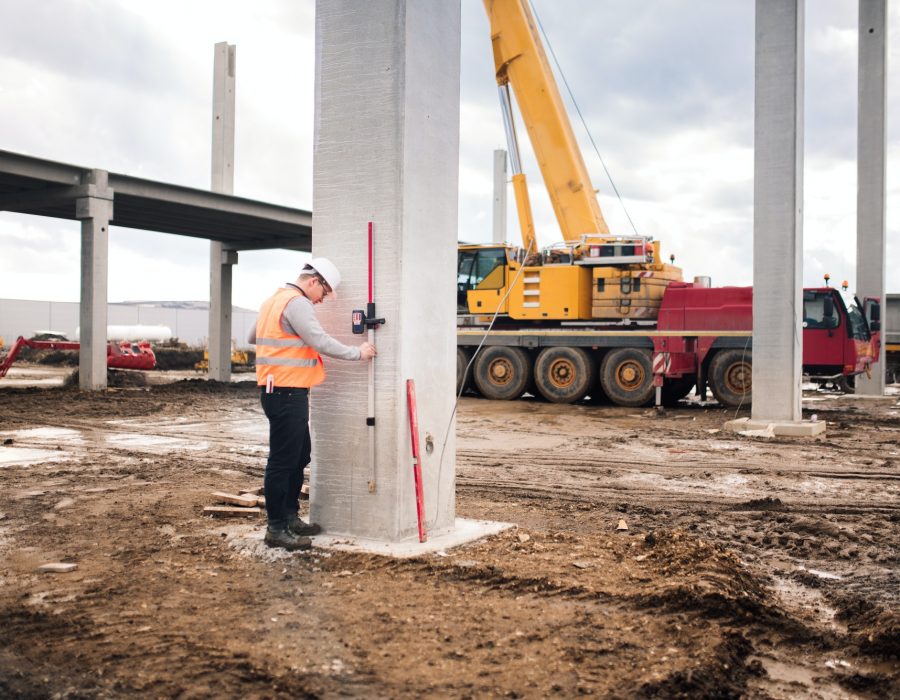

Thornton Land Surveying has a legacy of successfully delivering top-quality performance on schedule, within budget, and tailored to the individual needs of the client. We are a firm with primary areas of expertise in land surveying digital mapping services and 3D laser scanning. Our diverse range of clients include governmental agencies, school districts, churches, utility districts, homeowners, and a great number of private sector developers throughout the State of Washington.
During the last 40 years, Thornton Land Surveying has completed thousands of topographic surveys, boundary surveys, and mapping projects. We also are one of the few local firms to offer 3D laser scanning. Additionally, we have one principal office located in Gig Harbor, and a second office operating out of Port Orchard under the name Con Serve, Inc. (CSI Surveying).
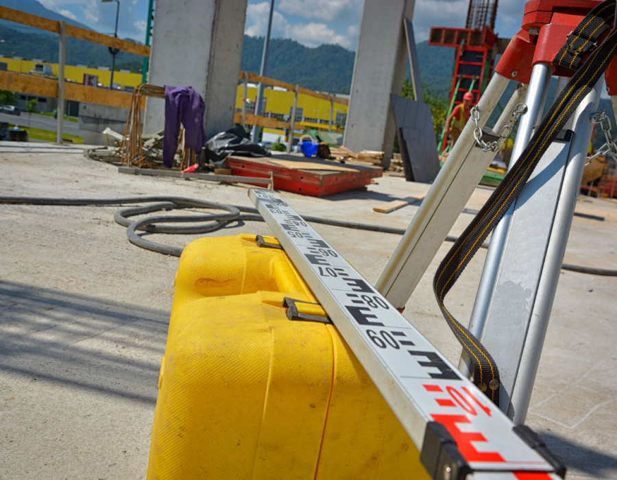




Our business was established on a foundation of construction layout and site development procedures. Few firms have the patience AND understanding of how to balance efficiency with accuracy. We understand that using RTK-GPS to set a building grid will likely result in costly mis-closures but that establishing a storm basin does not require first order control. We are of the opinion that bringing us onto your site to provide survey layout should be money well spent. When our crews are on-site, they strive to be efficient and task oriented.
In conjunction with establishing high and mid level precision location of site improvements, we are also armed with several state-of-the-art instruments to monitor movement, both vertical and horizontal during and after completion. These include 3DHD laser scanner, robotic total station with remote measuring capability, electronic 3-wire level, and static GPS for high-precision network control. Providing a base-line and benchmarks for on-site control, usable by other contractors can usually be done on a tight budget.
Just as it sounds, this is the process of adjusting the boundary between two or more properties or lots and which cannot result in the creation of additional lots.
Each jurisdiction handles this process differently, therefore costs can vary substantially. We always recommend consulting with an attorney whenever there is a lender involved, or property is going to be conveyed to another party or entity. When in its simplest form, we can handle and direct you to the proper forms and formats. Again, it is important to remember that most cities and counties have applications and specific requirements which must be addressed before they can be accepted or officially recognized. Be prepared to spend some time and money addressing these bureaucratic conditions.
Similar to an adjustment, but typically this involves properties under different ownership and often this is a reference to the quasi-legal process of averting a lawsuit or other civil disagreements.


State law defines “aquatic lands” as all tidelands, shorelands, harbor areas, and the beds of navigable waters. Issues regarding everything from ownership boundaries and aquaculture leases to shoreline development often require the services of a professional surveyor.
Proposals for the use of state-owned aquatic lands, with a few exceptions, require prior authorization from the Washington State Department of Natural Resources (DNR). One of the requirements of authorization is a survey of the leased lands delineating any water dependent physical features as well as the extent of the lease.
Often times in the process of completing a survey of aquatic lands it is necessary to know the shape or contour of the submerged lands. This is most easily obtained through the use of equipment specificity designed for this purpose. Sounding equipment combined with GPS signals gives us a complete picture of the site and how it can be surveyed or developed.
The DNR application for the installation of a buoy requires a vicinity map, mark ed with the position of the buoy or boat lift, acquired either by a differential corrected Global Positioning System (GPS) measurement or by conventional surveying methods. A licensed surveyor must provide this information, or you must document it as follows:
A. List the anchor position coordinate, with a state plane grid coordinate or a latitude and longitude.
B. Detail the survey method used to mark the position of the buoy or boat lift.
Tideland owners are often concerned about what it is that they actually own since in most cases they are described simply as “Tidelands Abutting”. There can be questions as to the extent of the tidelands side to side (laterally) as well as in extent, that is, how far out. These issues are complex and not easily delineated. The rules for resolving these issues are likewise complex and can involve every tool at a surveyors disposal.


Our business was established on a foundation of construction layout and site development procedures. Few firms have the patience AND understanding of how to balance efficiency with accuracy. We understand that using RTK-GPS to set a building grid will likely result in costly mis-closures but that establishing a storm basin does not require first order control. We are of the opinion that bringing us onto your site to provide survey layout should be money well spent. When our crews are on-site, they strive to be efficient and task oriented.
In conjunction with establishing high and mid level precision location of site improvements, we are also armed with several state-of-the-art instruments to monitor movement, both vertical and horizontal during and after completion. These include 3DHD laser scanner, robotic total station with remote measuring capability, electronic 3-wire level, and static GPS for high-precision network control. Providing a base-line and benchmarks for on-site control, usable by other contractors can usually be done on a tight budget.
Just as it sounds, this is the process of adjusting the boundary between two or more properties or lots and which cannot result in the creation of additional lots.
Each jurisdiction handles this process differently, therefore costs can vary substantially. We always recommend consulting with an attorney whenever there is a lender involved, or property is going to be conveyed to another party or entity. When in its simplest form, we can handle and direct you to the proper forms and formats. Again, it is important to remember that most cities and counties have applications and specific requirements which must be addressed before they can be accepted or officially recognized. Be prepared to spend some time and money addressing these bureaucratic conditions.
Similar to an adjustment, but typically this involves properties under different ownership and often this is a reference to the quasi-legal process of averting a lawsuit or other civil disagreements.


State law defines “aquatic lands” as all tidelands, shorelands, harbor areas, and the beds of navigable waters. Issues regarding everything from ownership boundaries and aquaculture leases to shoreline development often require the services of a professional surveyor.
Proposals for the use of state-owned aquatic lands, with a few exceptions, require prior authorization from the Washington State Department of Natural Resources (DNR). One of the requirements of authorization is a survey of the leased lands delineating any water dependent physical features as well as the extent of the lease.
Often times in the process of completing a survey of aquatic lands it is necessary to know the shape or contour of the submerged lands. This is most easily obtained through the use of equipment specificity designed for this purpose. Sounding equipment combined with GPS signals gives us a complete picture of the site and how it can be surveyed or developed.
The DNR application for the installation of a buoy requires a vicinity map, mark ed with the position of the buoy or boat lift, acquired either by a differential corrected Global Positioning System (GPS) measurement or by conventional surveying methods. A licensed surveyor must provide this information, or you must document it as follows:
A. List the anchor position coordinate, with a state plane grid coordinate or a latitude and longitude.
B. Detail the survey method used to mark the position of the buoy or boat lift.
Tideland owners are often concerned about what it is that they actually own since in most cases they are described simply as “Tidelands Abutting”. There can be questions as to the extent of the tidelands side to side (laterally) as well as in extent, that is, how far out. These issues are complex and not easily delineated. The rules for resolving these issues are likewise complex and can involve every tool at a surveyors disposal.
Laser scanning is a relatively new technology, having been used as a praise survey instrument only since 1998. Now it is quickly becoming the new industry standard as a way to make very accurate measurements in complicated environments.
We employ several drafting programs and other software packages including Autocad 3D, IntelliCad, Carlson SW; Terramodel, Maptitude, Corpscon, Vertcon, Cyclone, Cloudwoks and MS Office. The main office is equipped with a network, computer systems, a full complement of printers, plotters, copiers, and email access to all employees.
Thornton Land Surveying has a capacity to operate three crews and regularly engages GPS, robotic, and conventional surveying tools as well as state-of-the-art laser scanning.
Thornton Land Surveying strives to make things as easy as possible for you. We can provide you with a free quote. Please fill out the form and we will get back to you within 1-2 business days.


Call Monday – Friday : 7:30 a.m. to 4:30 p.m, we are available for our customers.

